Uploading a contour map to your Garmin GPS receiver (GPSr) can greatly enhance your hiking and outdoor adventures.
This guide will walk you through the process of adding a contour map of the Sandia Mountains, which includes 100-foot contour levels, most trails, and roads.
Required Software
To upload the contour map to your Garmin GPSr, you need to install a specific program. Follow these steps:
- Download and install the IMG2GPS program.
- Refer to the instructions available on the same site for guidance on using IMG2GPS.
Compatible Devices
The procedure has been tested and works well with the following Garmin GPS units:
- Garmin Etrex product line
- GPSMap CSx and related units
Note: The current version of IMG2GPS might not recognize the newer Garmin Colorado GPSr units.
Steps to Upload the Contour Map

- Download the Contour Map File: Obtain the Sandia Mountains contour map file.
- Install IMG2GPS: Follow the download and installation instructions provided on the IMG2GPS website.
- Connect Your GPSr: Use a USB cable to connect your Garmin GPSr to your computer.
- Open IMG2GPS: Launch the IMG2GPS program on your computer.
- Load the Map File: Follow the on-screen instructions to load the contour map file into IMG2GPS.
- Transfer the Map: Use IMG2GPS to upload the contour map to your Garmin GPSr.
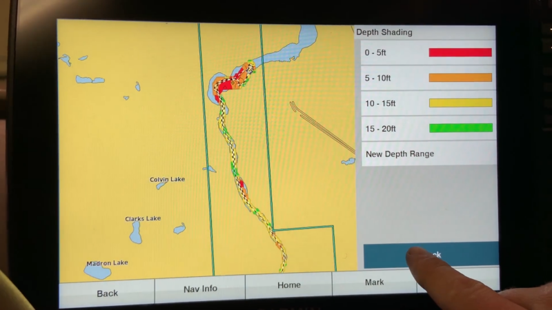
Viewing the Contour Map on Your GPSr
Once the map is uploaded, you can view it on your Garmin GPSr. Here is a sample screen image from a Garmin GPSr displaying a map from the region near Tree Spring Trail:
Troubleshooting Tips
- Ensure Compatibility: Double-check that your Garmin GPSr model is compatible with IMG2GPS.
- Follow Instructions Carefully: Carefully follow the installation and upload instructions provided on the IMG2GPS website.
- Check Connections: Make sure your GPSr is properly connected to your computer during the upload process.
Benefits of Using a Contour Map
Adding a contour map to your Garmin GPSr enhances your navigation experience by providing detailed topographical information. This allows you to:
- Plan Your Route: Visualize elevation changes and plan your hikes accordingly.
- Identify Landmarks: Easily locate trails, roads, and natural features.
- Improve Safety: Navigate more accurately and avoid getting lost.
FAQs
What is a contour map?
A contour map shows the elevation and shape of the land using contour lines. Each line represents a specific elevation level.
How do I know if my GPSr is compatible?
Check the list of compatible devices mentioned above. If your device is not listed, refer to the IMG2GPS website or your GPSr’s user manual for compatibility information.
Where can I find more maps?
Additional maps for various regions can be found on websites dedicated to GPS mapping and hiking.
Summary
Uploading a contour map to your Garmin GPSr can significantly improve your hiking experience by providing detailed topographical information. Follow the steps outlined in this guide to download and install the necessary software, and upload the map to your device.